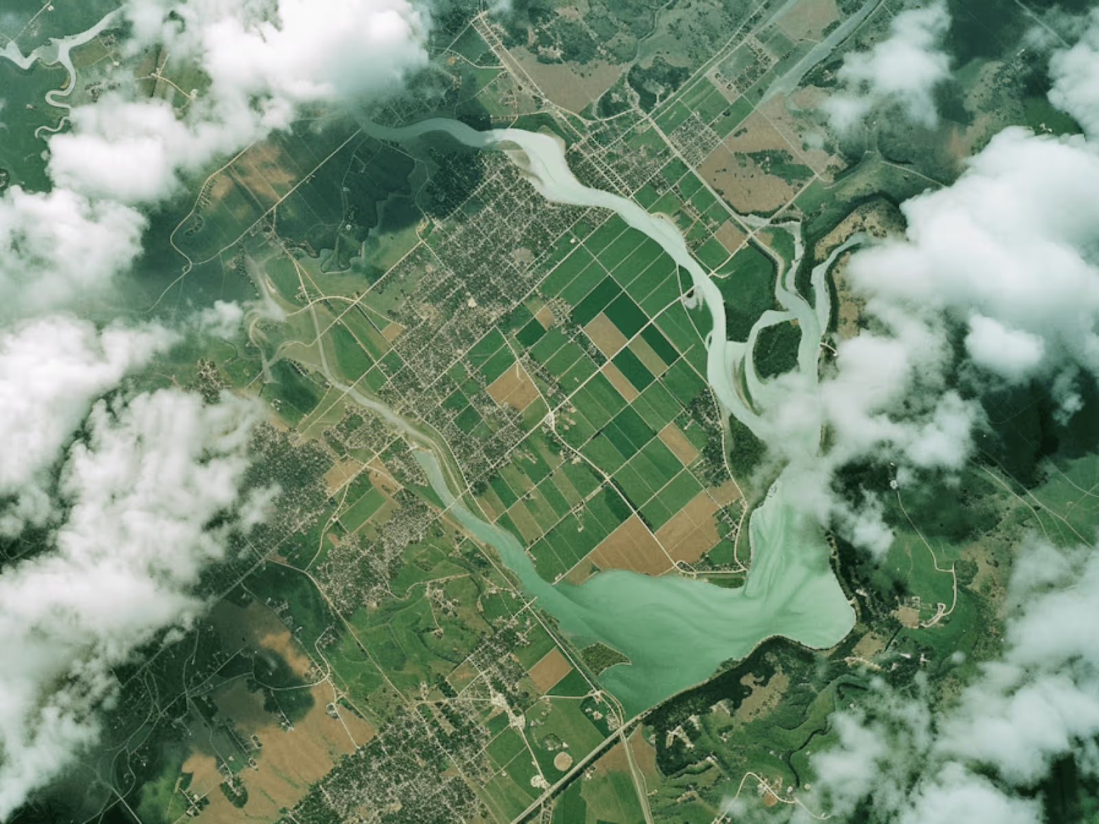
Mapping & Documentation
Accurate aerial data for planning, monitoring, and reporting.
Overview
Consistent aerial documentation to support site planning, progress tracking, and long-term records.
What’s included
• Licensed and insured flight operations
• Pre-flight planning and site assessment
• Safety-first procedures and compliance
• Professional aerial capture
• Basic post-processing
• Digital delivery
Other services
Professional drone services tailored for a wide range of project needs.